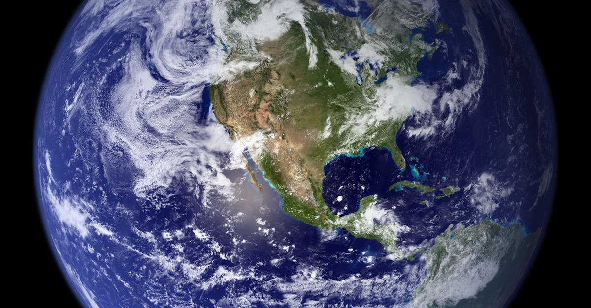
In a groundbreaking development, a collaborative effort between NASA and the French National Centre for Space Studies (CNES) has resulted in a satellite capable of offering unprecedented insights into the ocean floor. This satellite, armed with advanced technology, is transforming our understanding of marine ecosystems, underwater geology, and the impact of climate change on our oceans. The ability to map and analyze the ocean floor is not just a scientific novelty; it is imperative for resource management, environmental conservation, and enhancing our knowledge of Earth’s history. This post explores the capabilities of this satellite, its implications for oceanography, and how such innovations could shape the future of marine studies.
Introducing the Satellite Technology
The NASA and CNES satellite employs cutting-edge instruments to remotely sense the ocean floor, revealing features that were once hidden beneath layers of water. Utilizing advanced radar technology, this satellite can collect data across vast ocean areas, producing detailed imagery of underwater features such as ridges, valleys, and sediment deposits.
According to NASA’s Earth Science Division, “This technology enables us to see the ocean as we have never seen it before.”
The precision of these maps, aided by data from artificial intelligence, offers researchers and scientists a more effective tool for studying oceanic changes.
Environmental Monitoring and Conservation
The implications of this satellite extend beyond just mapping; it is also vital for monitoring environmental changes. By tracking phenomena such as ocean currents, temperature variations, and sediment displacement, scientists can assess how climate change is influencing marine ecosystems. This data is crucial for developing conservation strategies and understanding how to protect vulnerable marine species.
For example, researchers can identify critical habitats affected by climate stressors and propose measures for their protection. This satellite opens up possibilities for better-informed policy-making regarding ocean health.
Mapping for Maritime Navigation
Accurate sea floor mapping has significant implications for maritime navigation. By providing the infrastructure needed for safer shipping routes, the satellite can help minimize risks associated with navigational hazards. For instance, unexpected underwater formations can pose serious threats to maritime vessels.
The detailed maps generated by this satellite will allow navigators to better understand underwater terrain and make informed decisions that promote safety and efficiency in maritime traffic.
Enhancing Geological Research
The ocean floor is teeming with geological mysteries that hold clues to Earth’s past. This satellite technology will allow geologists to explore features such as tectonic plate boundaries, underwater volcanoes, and fault lines with unprecedented clarity.
Researchers will be able to better understand seismic activity, providing insights into earthquake prediction and mitigation.
“Studying these geological formations is essential for understanding the dynamics of our planet,” notes Dr. Emily Roberts, a marine geologist.
Visits to ocean floor sites can be significantly reduced, allowing rough assessments from afar.
Advancing Oceanographic Research
The capabilities of this satellite enhance our understanding of oceanography, enabling studies on currents, waves, and marine patterns that were previously limited. This data plays a vital role in predicting weather events and understanding climatic shifts.
In addition, oceanographers can study how marine fauna and flora adapt to changing conditions, which is vital as we strive to protect biodiversity in our oceans. The resulting data can be triangulated with other data streams for comprehensive analysis.
Collaboration in Scientific Research
One of the most remarkable aspects of this project is the collaboration between NASA and CNES. It showcases how international efforts in satellite technology can provide significant advancements in science. Such partnerships enhance resource sharing, expertise exchange, and collaborative research, ultimately leading to a broader understanding of global challenges.
The satellite represents not just technological prowess, but a joint commitment to sustainable ocean management and scientific inquiry.
Future Prospects in Ocean Exploration
This satellite is just the beginning. As technology evolves, we can anticipate even more breakthroughs in how we explore and understand the oceans. Future satellites may utilize enhanced sensors, artificial intelligence, and data analytics to provide real-time monitoring and more detailed analyses.
This ongoing innovation may foster deeper engagement with oceanic research and promote a collective effort toward marine conservation.
Conclusion
The launch of the NASA and CNES satellite heralds a new era in ocean floor exploration. With its ability to map the ocean floor like never before, it opens doors to understanding environmental changes, advancing geological research, and improving maritime safety.
As technologies continue to develop, our understanding of the ocean will expand, leading to enhanced conservation efforts and informed policy changes. The implications of this satellite’s data are profound, reminding us of the importance of our oceans and the necessity to protect them for future generations.